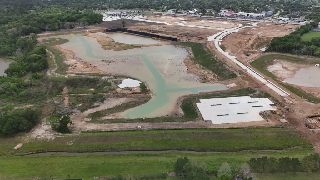
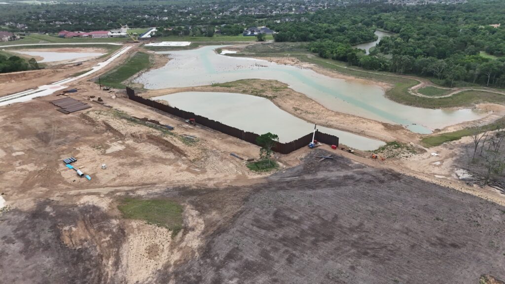
Construction Progress Mapping — Why Survey-Grade Drone Data Is Replacing Traditional Site Documentation
Construction project managers have always needed accurate, timely site data — to track earthwork progress, verify grading against design plans, calculate cut-and-fill volumes, and produce the documentation that owners, investors, and inspectors require. Traditional approaches to gathering that data — ground surveys, manual measurements, and periodic walk-throughs — are slow, resource-intensive, and produce records that are difficult to compare across sessions. Drone-based mapping with RTK-level accuracy changes that equation significantly, and the change compounds with every repeat visit.
What RTK Accuracy Actually Means on a Construction Site
Standard consumer-grade drone GPS introduces positional error of several feet — which sounds acceptable until you try to compare two maps of the same site taken six weeks apart. When each session carries its own multi-foot offset, the comparison between sessions measures the GPS drift as much as it measures actual site changes. Volume calculations become unreliable. Grading verification becomes approximate. Progress photography can only be compared by eye rather than by measurement.
RTK — Real-Time Kinematic correction — eliminates this by calculating the drone’s position in real time against a known reference, reducing positional error to the centimeter level. The DJI Matrice 4E’s built-in RTK module delivers this accuracy without requiring external ground control points for most sites, and its support for the extended L5 frequency band maintains reliability even near metal structures, power lines, and other sources of signal interference common on active construction sites.
The practical result: your orthomosaics are accurate enough to measure from, your point clouds are accurate enough to run volume calculations on, and your session-to-session comparisons reflect real site changes rather than GPS noise. Two maps captured three months apart can be overlaid and differenced directly, showing exactly where material moved, where grading changed, and where progress stands against the design model.
The Two-Drone Approach: Mapping Data and Progress Photography in One Visit
A single DroneWorks construction mapping session deploys two aircraft simultaneously, each handling a distinct part of the deliverable set. The DJI Matrice 4E flies the structured photogrammetry mission — a precisely planned grid at consistent altitude and overlap — and produces the RTK-accurate 2D orthomosaic and 3D point cloud. The DJI Air 3S flies a programmed Waypoint Mission to capture two fixed-position, fixed-angle progress photographs from the exact same GPS coordinates every session.
This separation matters for the time-lapse use case. Because the Air 3S returns to identical waypoints at every visit, every progress photograph lines up perfectly for side-by-side comparison and direct time-lapse assembly. The result over the course of a project is a compelling, professionally composed construction time-lapse that documents the full arc from groundbreaking to completion — without requiring any coordination beyond scheduling our return visits.
Volume Calculation and Contouring Verification
The 3D point cloud produced by the Matrice 4E gives engineers and site managers something that no photograph or 2D map can provide: a quantified surface model that can be interrogated numerically. Volume calculations run against a reference plane or design model to produce cut-and-fill figures. Surface topology comparisons between sessions measure exactly how much material moved and where. Grading compliance verification flags deviations from design grade before they become costly corrections.
These calculations happen in the office, not on the site, and they require no additional survey crews or instrument setups. The deliverable from a single mapping session includes the elevation dataset, the point cloud, and the orthomosaic — all the inputs a project engineer needs to run their own analysis in whatever GIS or CAD platform their workflow uses.
Who Construction Mapping Serves
Our construction mapping service is designed for project managers, site supervisors, general contractors, and owners who need accurate, timely site documentation without the cost and scheduling complexity of a traditional survey crew. It works for residential subdivisions, commercial site development, civil infrastructure projects, and earthwork operations of any scale.
The value compounds with every visit. The first session establishes a baseline. The second session reveals what changed. By the fifth or sixth session, you have a quantified, documented record of the entire earthwork phase — with volume data, grading verification, and progress photography — that can be shared with owners and investors, submitted to lenders, or used as a defensible record in any dispute about site conditions at a specific point in time.
DroneWorks of Friendswood serves construction sites across the Gulf Coast area. Call for availability and scheduling, including larger sites and out-of-area projects.