Disaster Recovery and Emergency Response — What the Matrice 4TD Provides That No Other Platform Can
The hours immediately following a hurricane, flood, or structural collapse are the most critical in the entire emergency response cycle. Search and rescue windows are narrow. Situational awareness for incident command is minimal. Resources are being deployed without complete information about where they are most needed. The tools available to first responders in those hours determine how effectively they can close that information gap — and they have changed significantly with the deployment of purpose-built thermal drones.
Why Thermal Imaging Is the Enabling Technology for Post-Disaster Search and Rescue
Optical cameras — including all standard drone cameras — are fundamentally limited by the same conditions that make post-disaster environments so dangerous: darkness, smoke, flooding, debris fields, and dense vegetation all defeat optical imaging. A survivor trapped under debris in the hours after a hurricane landfall is invisible to any optical sensor regardless of resolution.
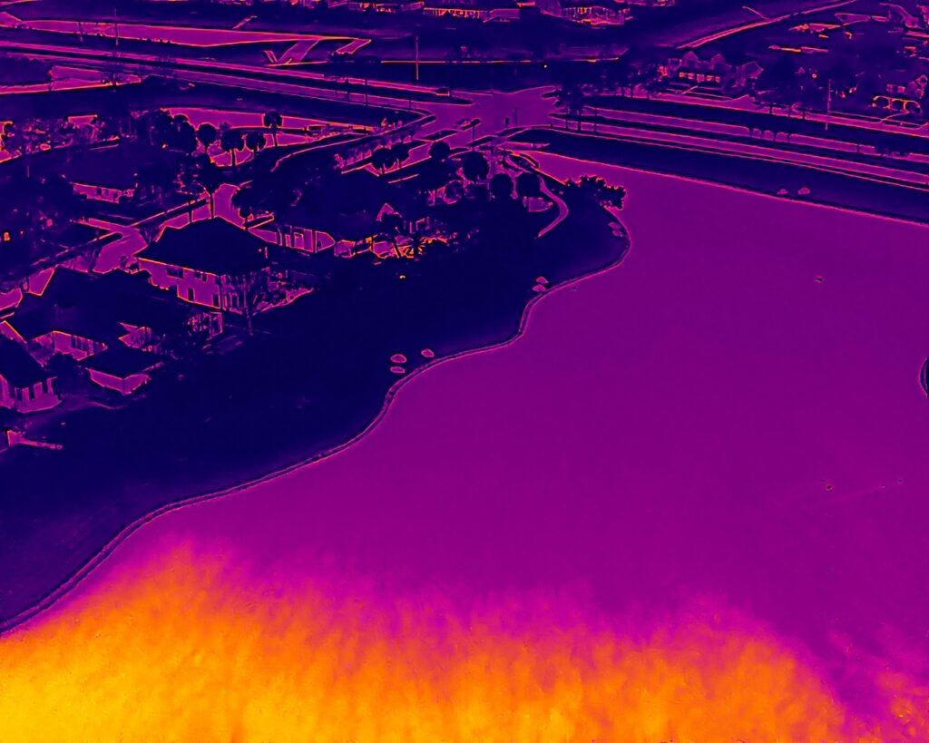
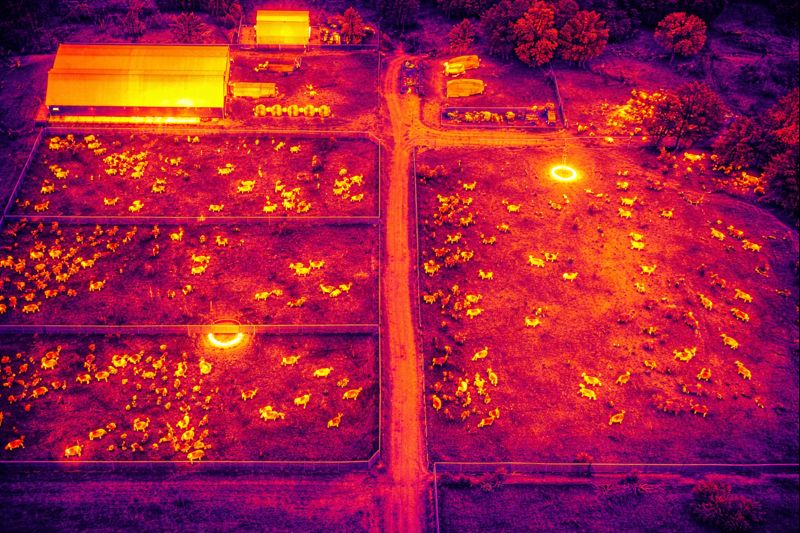
Thermal imaging detects heat signatures rather than reflected light, which means it is unaffected by the conditions that blind optical cameras. The Matrice 4TD’s 640×512 infrared thermal camera — upgradeable to 1280×1024 in Ultra-High Resolution mode — detects body heat through smoke, in total darkness, and through light debris cover. It can identify heat signatures from survivors, locate active fire hotspots inside structures, detect compromised gas lines, and map flood boundaries in conditions where no ground team can safely operate.
The thermal feed streams live to the DJI RC Plus 2 Enterprise controller at the pilot position and simultaneously to the incident command post through DJI FlightHub 2 — so the people making resource allocation decisions have the same real-time information as the pilot, without anyone from command needing to be at the launch site.
The AL1 Spotlight and AS1 Speaker: Turning a Drone Into a Communications Platform
Locating a survivor is only part of the search and rescue problem. Communicating with them — telling them help is coming, directing them to a safer position, keeping them calm during extraction — has traditionally required a ground team to physically reach them. The Matrice 4TD’s DJI AL1 Spotlight and DJI AS1 Speaker turn the aircraft into a communications platform that can provide both illumination and voice contact before ground teams arrive.
The AL1 Spotlight links to the drone’s gimbal and locks onto subjects automatically, illuminating from 100 meters in always-on or strobe mode and covering 1,300 square meters at that distance. In a flooded neighborhood with no street lighting, this is the difference between a ground team navigating blind and a ground team with a drone-deployed overhead light marking their exact objective.
The AS1 Speaker delivers 114 dB of broadcast audio to a radius of 300 meters, with built-in echo cancellation that ensures clarity in chaotic acoustic environments. Live voice commands from the incident commander can be broadcast directly to survivors or to affected populations across a wide area — useful for evacuation instructions, shelter-in-place communications, or survivor reassurance during search operations.
Effectively Continuous Coverage with 60-Second Battery Turnarounds
The Matrice 4TD carries one battery per flight, providing up to 45 minutes of airborne time under normal conditions. What makes continuous coverage possible is the battery swap process: the entire sequence of landing, swapping to a pre-charged battery, powering up, reconnecting to the controller, and returning to the search area takes 60 seconds. With a supply of charged batteries pre-staged at the launch position, effective airborne coverage can continue as long as the incident demands — limited only by pilot scheduling and battery inventory, not by aircraft downtime.
This operational profile — nearly continuous coverage, thermal-capable, all-weather, with integrated communications and illumination — is what first responder agencies require when they activate mutual aid agreements for drone support. DroneWorks of Friendswood is equipped and positioned to provide that support.
DJI FlightHub 2: The Industry Standard for Incident Command Coordination
DJI FlightHub 2 is the cloud-based command and control platform used as a standard disaster management tool by first responder agencies across the country. It streams live video feeds, thermal imagery, AI detection alerts, and flight telemetry to any device — laptop, tablet, or mobile phone — at the incident command post. Mission planning and search grid assignment happens in the platform before aircraft are airborne. Every photo, video, and flight telemetry record is automatically logged and timestamped, producing a complete incident documentation record with no additional effort.
For mutual aid coordination, FlightHub 2 supports multi-team access with role-based visibility — pilots see what they need, supervisors see more, mutual aid partners see what they are granted. This allows multiple agencies to share situational awareness from a single drone deployment without security or operational coordination problems.
Pre-Event Coordination and Readiness
The most effective disaster response drone deployments are not improvised in the field. They are pre-planned with the incident command team, integrated into the response protocol, and staged with launch positions, communication links, and battery logistics already established. DroneWorks of Friendswood is available for pre-event coordination with municipal emergency management offices, fire departments, sheriff’s offices, and other response agencies across the Gulf Coast region.
If your agency is planning for hurricane season, establishing a drone support agreement before an event occurs, or evaluating thermal drone capability for your response operations, call to discuss operational parameters, coverage capabilities, and coordination requirements.